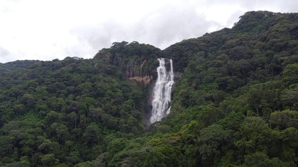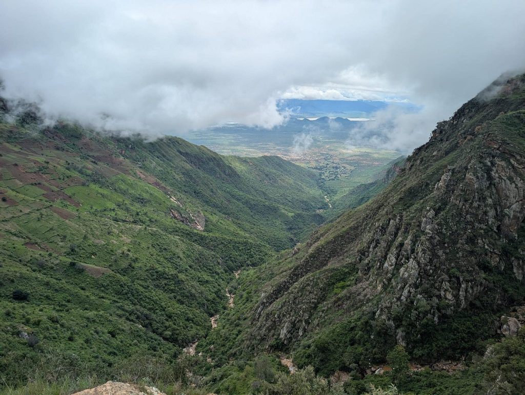
The western highlands are the agricultural heartland of Kenya, separating Kisumu and Lake Victoria from the rest of the country. In the south, around Kisii and Kericho, lie vast tea plantations, while further north, around Kitale and Eldoret, the landscape is dominated by fertile farmland. The towns of the highlands are mainly small agricultural service towns, much like those found in similar areas of Australia or the USA, and are about as interesting. For visitors, the attractions of the area lie outside these towns, including the tea plantations around Kericho, Kakamega Forest near Kakamega, Mount Elgon and Saiwa Swamp national parks, both near Kitale, and the Cherangani Hills, which lie north-east of Kitale and Eldoret.
Kakamega Forest Reserve
The Kakamega Forest Reserve is a superb stretch of virgin tropical rainforest in the heart of an intensively cultivated agricultural area. It is home to a huge variety of birds and animals and is well worth the minimal effort required to get there. The Forest Department maintains a beautiful four-room rest house here, as well as a large nursery for propagating trees and shrubs used for ceremonial occasions around the country and for planting in the area. The workers are very friendly, and it is no problem to get shown around.
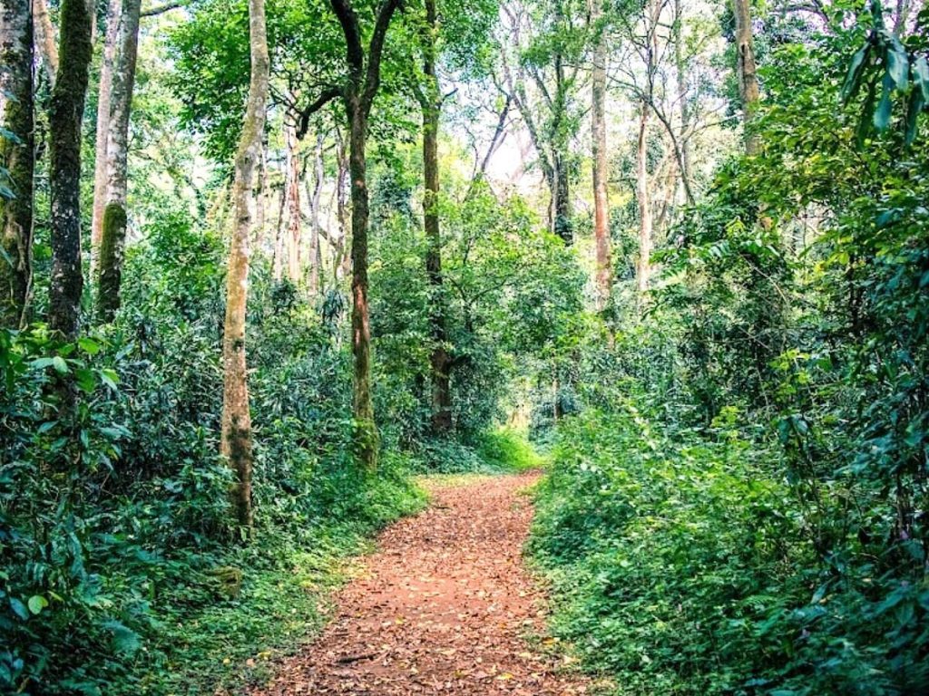
The forest near the rest house is very dense, with paths leading all over the place. For this reason, and certainly for a greater appreciation of the forest flora and fauna, it is worth engaging one of the staff members to guide you around. There are well-known guides who are friendly and knowledgeable, with an extensive knowledge of the trees and birds. Binoculars and wet-weather gear are essential, as it usually rains heavily every afternoon for a couple of hours. For this reason, it is best to arrive in the morning, as you usually have to walk a few kilometres to reach the rest house. The driest period here is from December to April, but even then, it rains daily.
The Forest Rest House lies about 12 km east of the Kisumu-to-Kitale road, about 30 km north of Kisumu. Access is possible either from Kakamega village on the main road when coming from the north, or from Khayaga, also on the main road, when coming from the south. If you want to walk — and it is beautiful walking country — it is about seven km from Khayaga to Shinyalu or about 10 km from Kakamega to Shinyalu. There is very little traffic along either of the roads, but you can also get a ride or hire one from Nairobi. Whatever means you use to get there, allow half a day from Kitale or Kisumu. From the turn-off to the rest house, the dirt road continues on to Kapsabet, so you could also come from that direction, but it is a long walk if you cannot find a safari group to join through different tour operators in Kenya.
Cherangani Hills
The beautiful Cherangani Hills are part of the Rift Valley system and extend for about 60 km north-east of Eldoret. They form the western wall of the spectacular Elgeyo Escarpment. You could easily spend weeks exploring here and never come across another tourist. The area is best explored on foot, as the roads are rough, and some of those that climb the Elgeyo Escarpment are incredibly steep. In wet conditions, the roads in this area become treacherous. For serious exploration, you would need to arrange a visit with an experienced tour company in Kenya, which is possible (contact us for more details). There are tour agencies that can organise ornithological tours of the hills, along with a guide, at a very reasonable price. The hills are dotted with small towns where you can arrange accommodation.
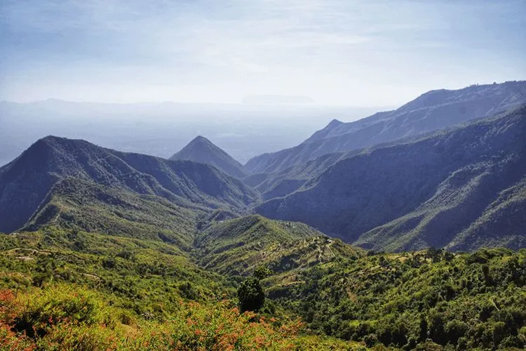
The hills are home to the Marakwet or Markweta people, part of the greater Kalenjin grouping, who migrated here from the north. They found that the area provided good safety and that the streams were ideal for agriculture, as the rainfall was low. To this end, they have made good use of, and extended, the water-distribution channels that were already in existence when the Marakwet first migrated to the area. The channels distribute water to all the small shambas (farms) in the hills.
Kitale Museum
Kitale is another in the string of agricultural service towns that dot the western highlands. It does have an interesting museum, but its main function for travellers is as a base for exploring further afield, including Mount Elgon and Saiwa Swamp National Park, and as a starting point for the trip up to the western side of Lake Turkana. As such, it is a pleasant enough town and can make an enjoyable stopover for a couple of days.
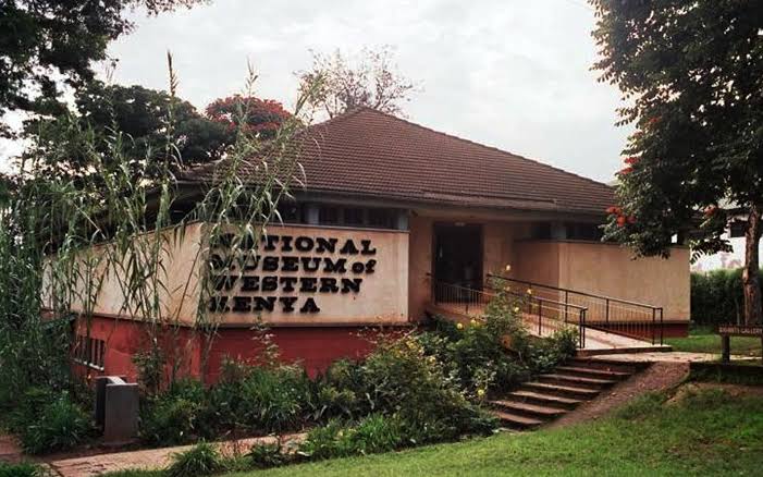
The museum has a variety of indoor exhibits, including good ethnographic displays of the Turkana people. The outdoor exhibits include traditional homesteads of a number of different tribal groups, the inevitable tortoise enclosure, and an interesting biogas display. Probably the most interesting feature is the small nature trail that leads through some virgin forest at the back of the museum. There are numbered points along the way, and the small guidebook available from the craft shop in the museum explains the points of interest. The museum is open Monday to Friday from 7:30 am to 6 pm, Saturday from 8 am to 6 pm, and Sunday from 9 am to 6 pm, and there is an entry fee.
Saiwa Swamp National Park
This small park north of Kitale is a real delight. The swamp area is the habitat of the sitatunga antelope (Tragelaphus spekii), known in Swahili as the nzohe, and this park has been set aside to protect it.
What makes this park unique is that it is only accessible on foot. There are marked walking trails that skirt the swamp, duckboards that cross the swamp in places, and some extremely rickety observation towers. The sitatunga is fairly elusive, and really, the only way to spot one is to sit atop one of these towers, armed with a pair of binoculars and a hefty dose of patience. As is the case in most parks, the best time for animal-spotting is in the early morning or late afternoon.
This shy antelope is not unlike a bushbuck in appearance, although it is larger, and has elongated hooves that are supposed to make it easier to get around in swampy conditions. It is hard to see how, but no doubt nature has it all worked out. The colouring is basically grey-brown, with more red noticeable in the females, and both sexes have white spots or stripes on the upper body. The males have long, twisted horns that grow up to a metre in length.
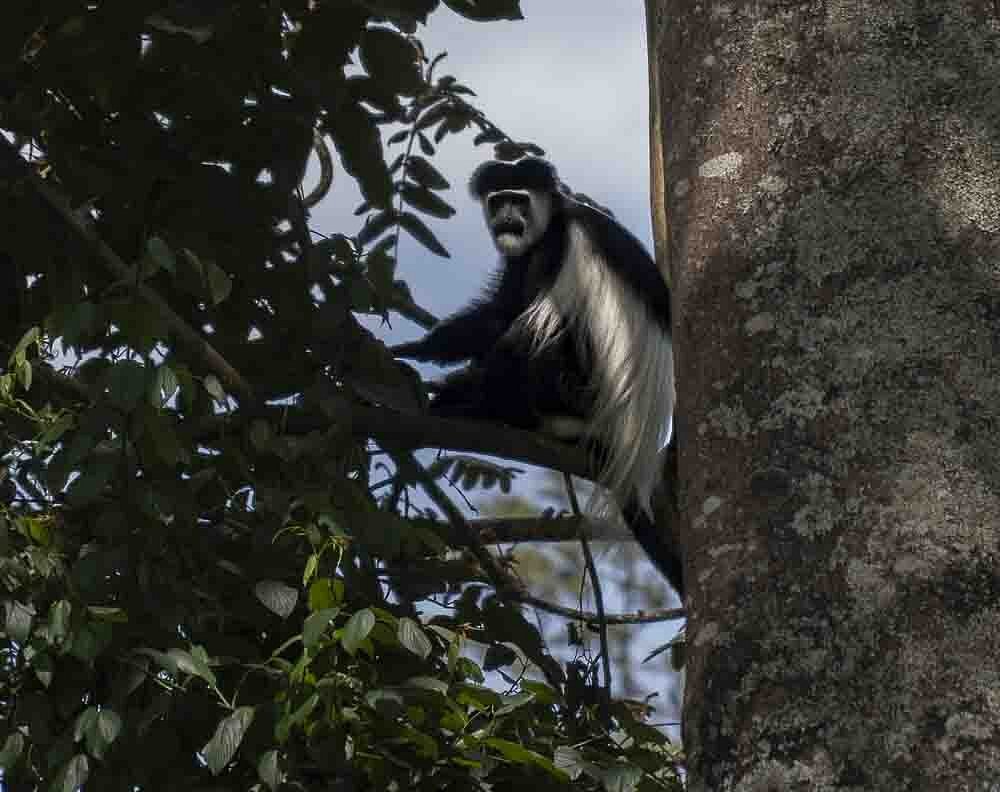
The park is also home to the impressive black-and-white colobus monkey (Colobus polykomos). It inhabits the higher levels of the trees and, not having the gregarious nature of many primates, is easy to miss as it sits quietly in the heights. When they do move, however, the flowing “cape” of white hair is very distinctive. Birdlife within the park is also prolific. With all this on offer, it is surprising how few people visit Saiwa Swamp.
Mt Elgon National Park
Mount Elgon sits astride the Kenya-Uganda border and, while it offers similar trekking possibilities to Mount Kenya, its location makes it a far less popular goal. The lower altitude also means that the weather on the upper slopes is not quite as severe.
The mountain is an extinct volcano, and the national park extends from the lower slopes right up to the border. The highest peak is Wagagai (at 4,321 metres, the fourth highest in East Africa), which is actually on the far side of the crater in Uganda. The highest peak on the Kenyan side is Koitoboss. There are warm springs in the crater itself, the floor of which is around 3,500 metres above sea level.
The mountain’s biggest attraction is its elephants, renowned the world over for their predilection for salt, the major source of which is found in the caves on the mountain slopes. The elephants are such keen excavators that some have gone so far as to claim that they are totally responsible for the caves! Sadly, the numbers of these salt-loving creatures have declined over the years, mainly due to incursions by poachers from the Ugandan side. There are three caves open to visitors — Kitum, Chepnyali and Mackingeny. Kitum is the one where you are most likely to see elephants, while Mackingeny is the most spectacular. Obviously, a good torch (flashlight) is essential if you want to explore the caves.
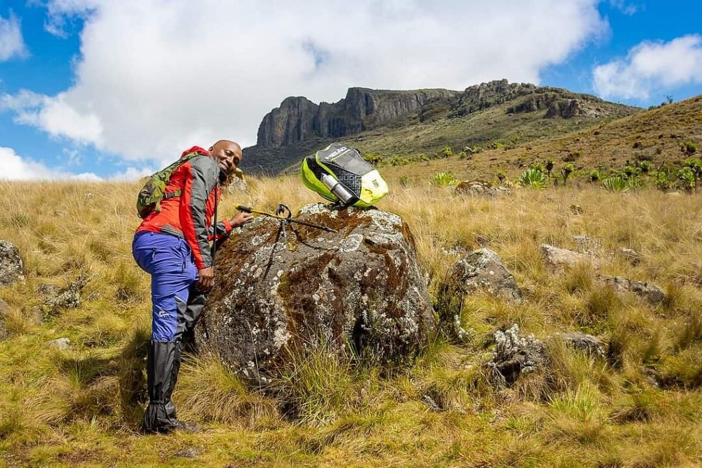
A less obvious attraction is the range of vegetation found on the mountain. Starting with rainforest at the base, the vegetation changes as you ascend to bamboo jungle and, finally, alpine moorland with the bizarre giant groundsel and giant lobelia plants. The lower forests are the habitat of the impressive black-and-white colobus monkey, along with many other species of birds and animals. Those most commonly sighted include buffalo, bushbuck, giant forest hog and Sykes’ monkey.
Mount Elgon can be a wet place at any time of the year, but the driest months seem to be December, January and February. As well as the waterproof gear you are going to need, warm clothes are essential, as it gets cold up here at night.